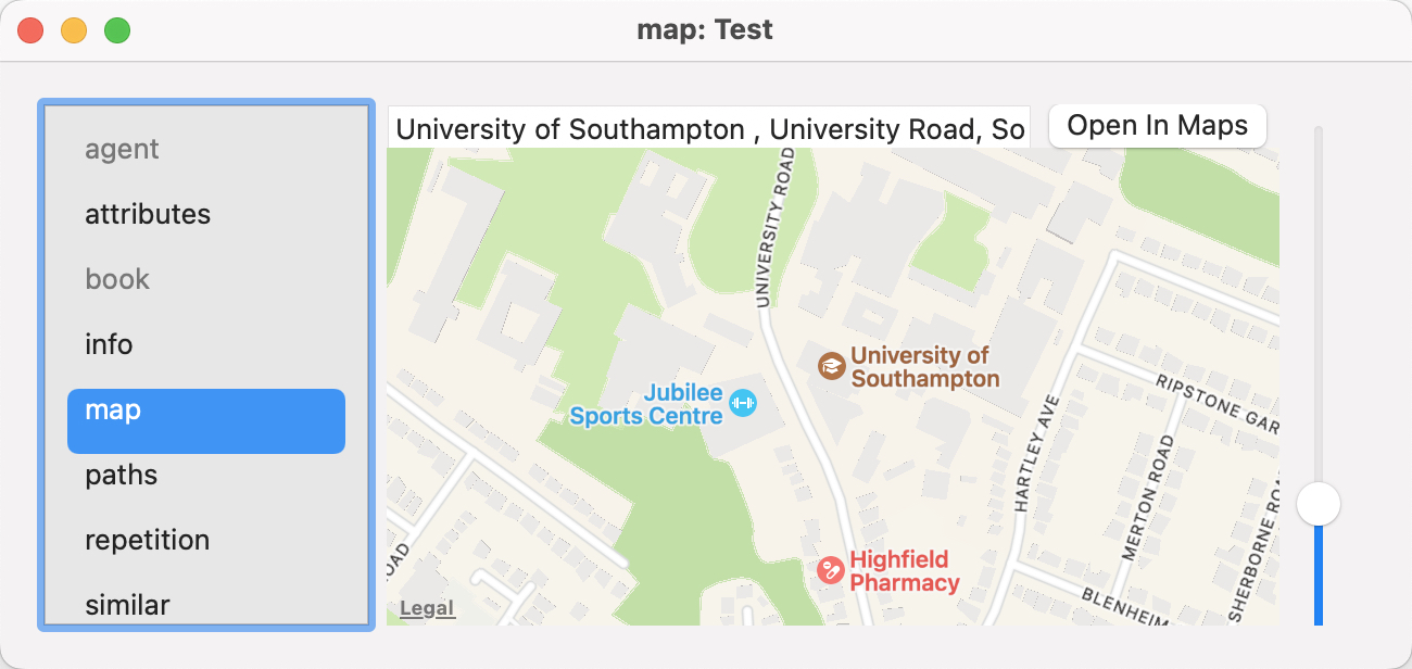
 The map tab checks to see if $Address is populated and if it is will attempt to resolve the address into Google Maps, populating $Latitude, $Longitude and $GeocodedAddress.
The top input box shows data in $Address, or adding data to the box will set there attribute.
If a map location is found, the map can be zoomed via the slider control to the right of the map.
Dragging the pop-over will result in a tear-off window that will persist until the end of the current session (i.e. the document and/or app are closed). A torn-off window may be closed during the current session if no longer needed.
The map tab has an Open In Maps button that opens the (macOS Apple) Maps application.
